Difference between revisions of "File:TaiwanRelief.png"
Jump to navigation
Jump to search
(A-lú-mih uploaded a new version of File:TaiwanRelief.png) |
|||
| Line 2: | Line 2: | ||
Taiwan relief map | Taiwan relief map | ||
Data: [https://topotools.cr.usgs.gov/gmted_viewer/viewer.htm] | Data: [https://topotools.cr.usgs.gov/gmted_viewer/viewer.htm] (land), [https://maps.ngdc.noaa.gov/viewers/wcs-client/] (sea floor) | ||
Made with QGIS 3.10 | Made with QGIS 3.10 | ||
Revision as of 2020 nî 4 goe̍h 3 ji̍t, 15:27
File history
Click on a date/time to view the file as it appeared at that time.
| Date/Time | Thumbnail | Dimensions | User | Comment | |
|---|---|---|---|---|---|
| current | 2020 nî 4 goe̍h 3 ji̍t, 15:32 | 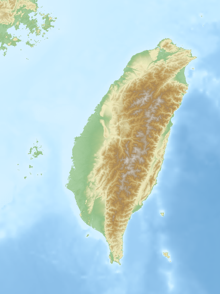 | 768 × 1,024 (447 KB) | Ianpit (khai-káng | kòng-hiàn) | fix holes |
You cannot overwrite this file.
File usage
The following page uses this file: